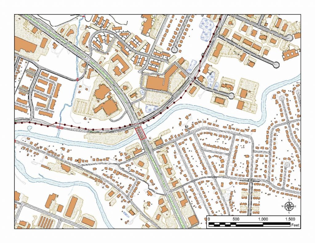
HAGERSTOWN, MD (October 23, 2019) – The Washington County Geographic Information Systems (GIS) Office recently completed an up-to-date GIS data set of planimetric features which will be used by local developers to plan and engineer commercial, industrial, and residential developments, as well as municipal, county and state government functions.
This project began in September 2017 and was completed in August 2019. Funding for this $120,000 project was a partnership between the County and an Appalachian Regional Commission (ARC) grant, both contributing half of the project cost. The City of Hagerstown also contributed $1,000.
The major goal of this project was to invest in Critical Infrastructure throughout the County. Geospatial data is both a tool used in the creation and preservation of critical infrastructure and is now being considered part of the digital infrastructure of a community. Every highway project, housing development, commercial venture, and public park begins with base data to map it into the landscape. Having accurate, complete, and up-to-date data is critical to every project.
High accuracy aerial photographs were used to outline the following features: roads (paved and unpaved), driveways, parking areas, public sidewalks, other paved areas, railroads, buildings, lakes, ponds, creeks and rivers, and major power lines. These features were mapped to a two-foot accuracy.
The GIS Office has a semi-automated GIS data request service. Anyone who wants the data can go to the County web site and make a request for any of the data layers the county has approved for public use. A link is then sent to them for download of the data through the internet. The data is provided free of charge as part of our open data policy. The data is only available in GIS format (ESRI Geodatabase) or AutoCAD format (DWG).
For additional information, please contact Washington County’s Public Relations and Marketing Department at 240-313-2380.
###